Research
The research activities of the faculty encompass several divisions of geomatics, for example spatial data acquisition, geodata management, statistics, adjustment calculation and geovisualization.
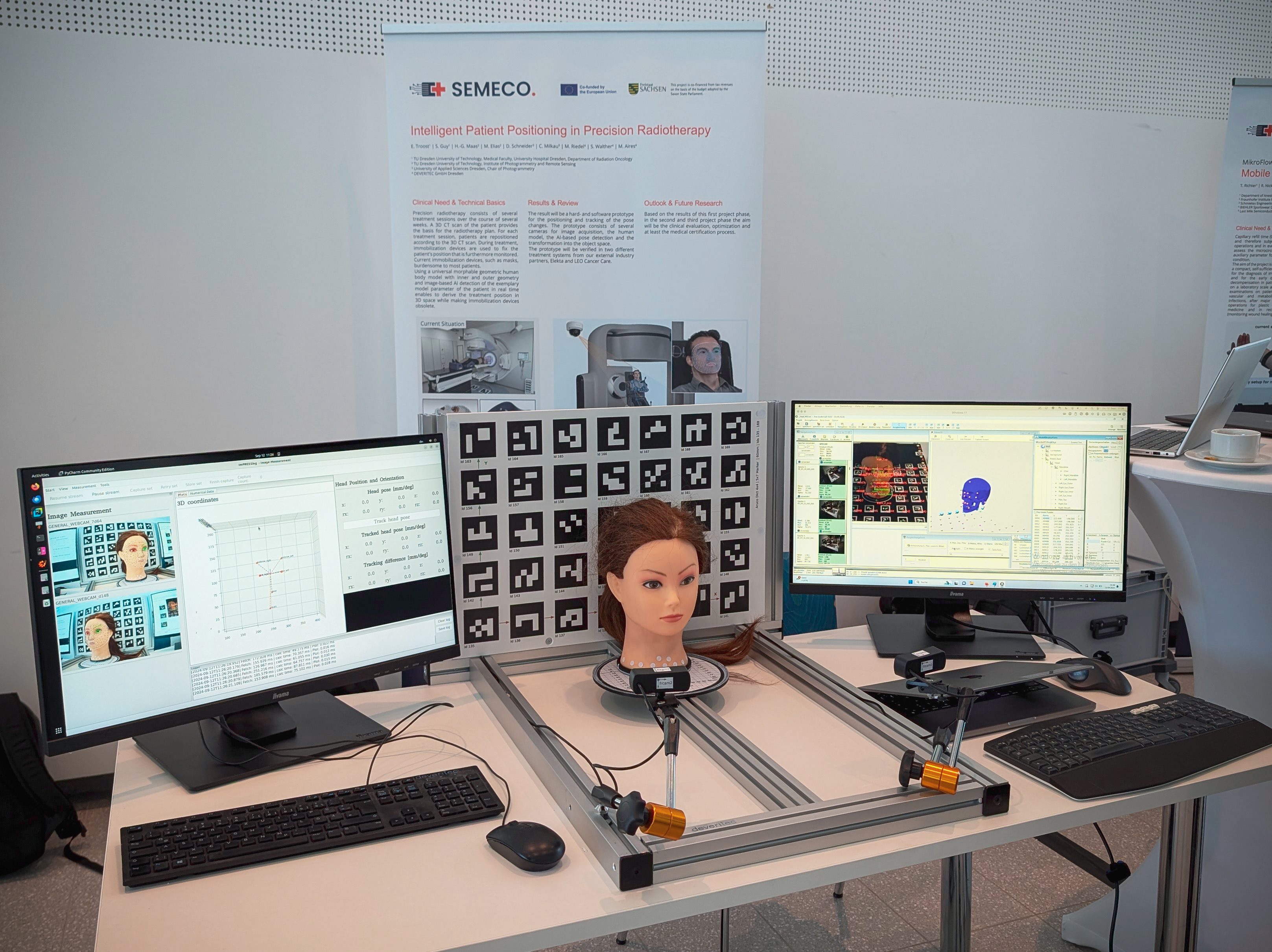
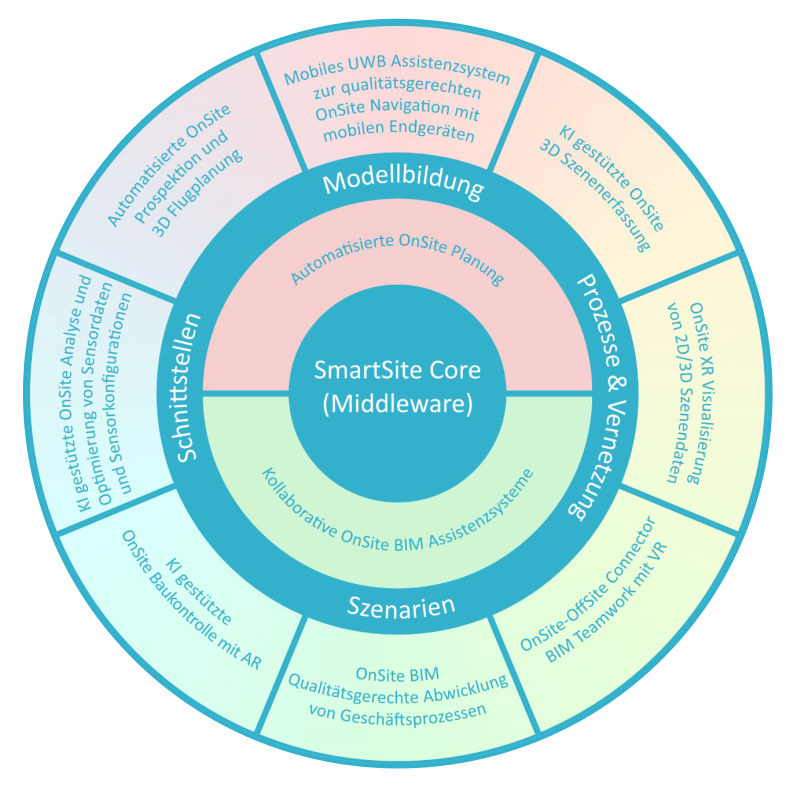
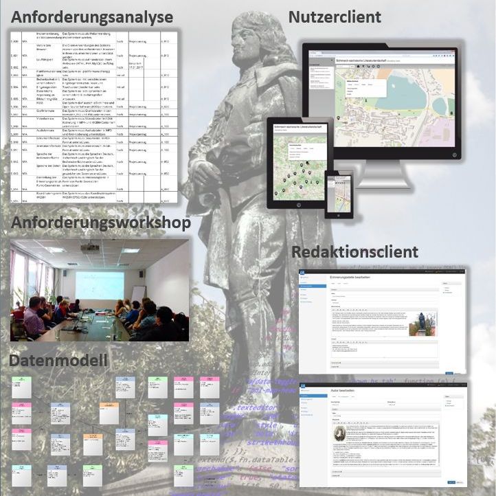
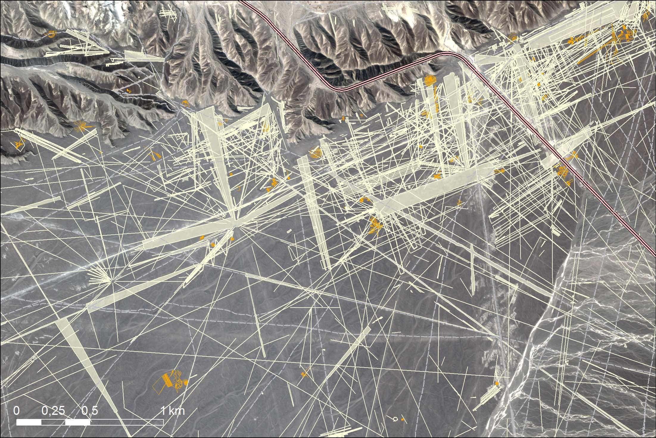
Various technologies such as geodetic sensors, remote sensing and photogrammetry, terrestrial laser scanning, web-based geoinformation systems (GIS), building information modeling (BIM) and online map services are used or developed for this purpose. Areas of application of the key research focus are environmental monitoring, civil engineering (in particular, traffic route engineering), building management, preservation of historical monuments and archaeology.
In the future, geodata management will be of great importance for the “Digital Administration 2020” project as part of Germany's participation in the global “Open Government Partnership (OGP)” initiative.


