Laboratory of Photogrammetry and Remote Sensing
How to find us
Visitors address
Mensa building
Entrance D, 2nd floor
Room M 108
Reichenbachstraße 1
01069 Dresden
Mailing address
HTW Dresden
Fak. Geoinformation, Labor Geoinformatik
PF120701, D-01008 Dresden
Tel: +49 351 462 2936
Email
Course Content
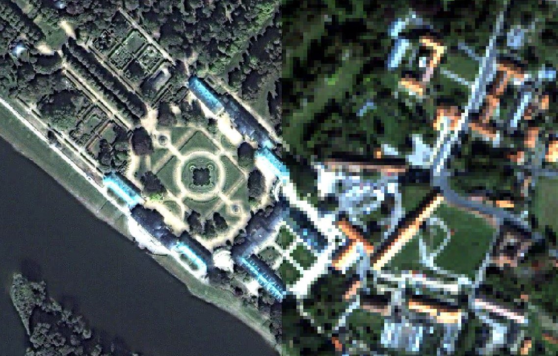
Photogrammetry and remote sensing are indirect noncontact observation methods. Photogrammetry deals specifically with the extraction of three-dimensional information from image data. Remote sensing, on the other hand, refers to the process of obtaining reliable information about physical objects and the environment through the process of recording, measuring and interpreting images and patterns of electromagnetic radiation images and other phenomena.
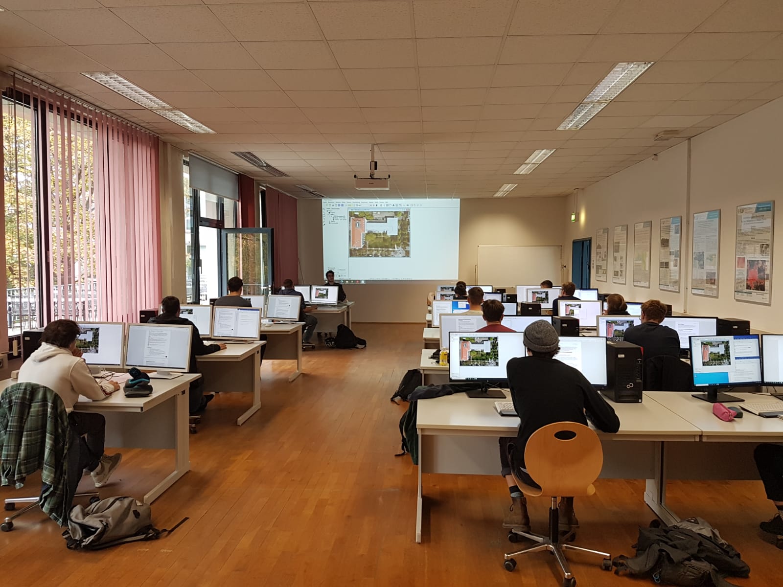
Practical exercises in the areas of digital image processing, terrestrial and airborne photogrammetry and remote sensing take place in the laboratory. In addition, projects and theses are professionally supported.
Digital image processing is the term used to describe the entirety of the processes by which a digital image is mathematically converted into a modified digital image. The change can relate to the geometric and/or radiometric image properties (i.e. gray value/hue, brightness, saturation) or be the result of a classification (DIN 18716-3, No. 7.1.5).
Practical exercises are offered in the laboratory on the following key areas of digital image processing:
- digital images
- color theory
- point operations
- filter operations
- geometric transformations
In the field of photogrammetry, the following exercise content is taught in the laboratory:
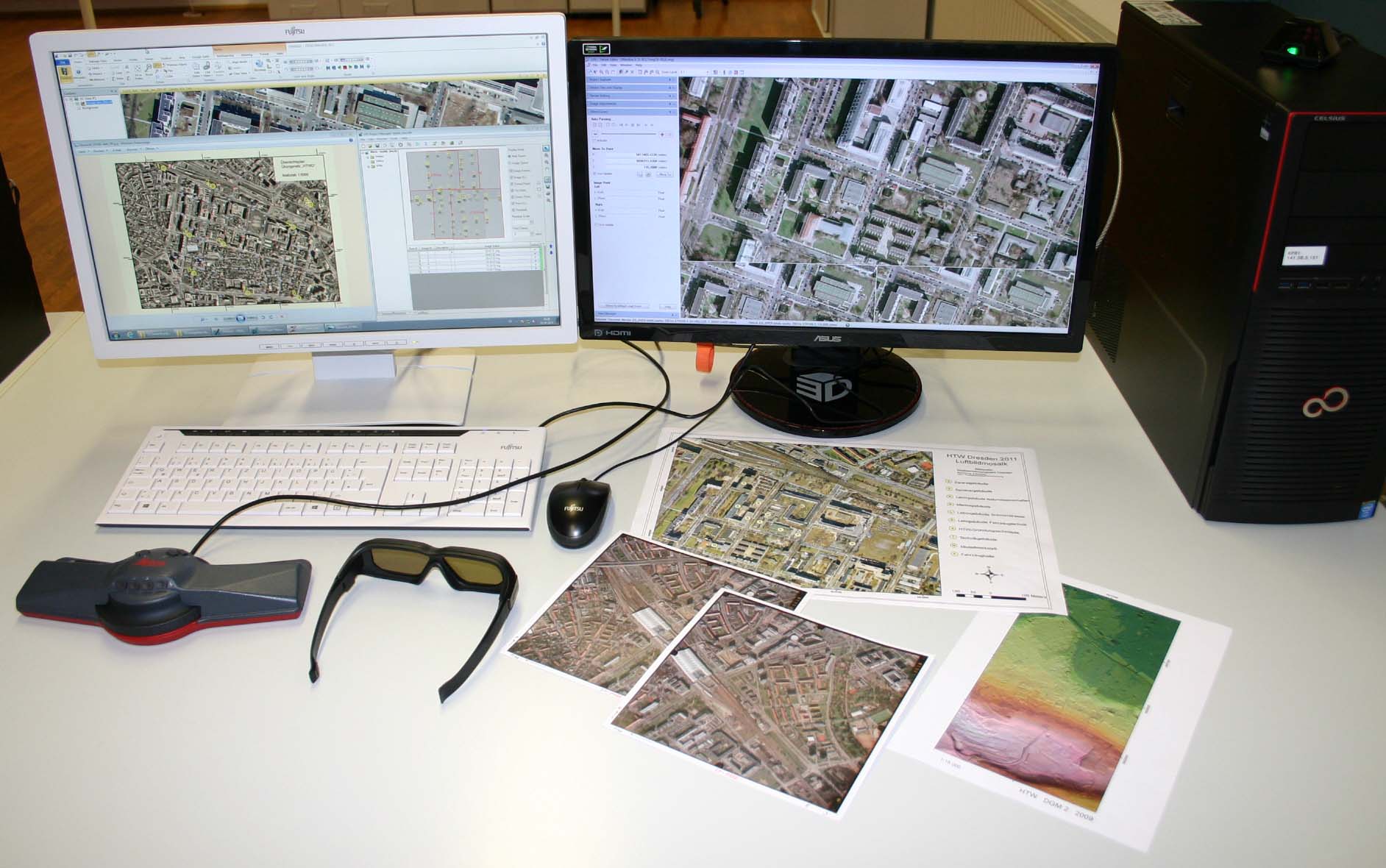
- 3D terrain data acquisition from aerial photographs for CAD and geographic information systems (GIS)
- aerotriangulation
- Digital terrain models, 3D visualizations
- Orthoimages, image mosaic, image maps
- Evaluation of UAS images (Unmanned Aerial System)
- 3D point cloud generation using SfM (Structure from Motion)
In the laboratory, both classic and modern methods of terrestrial photogrammetry and laser scanning methods are taught through practical exercises. Internships focus on the following areas:
- Surveying buildings for 3D models
- Deformation measurements on industrial objects
- Camera calibration
- 3D point cloud generation using SfM (Structure from Motion)
- etc.
Staff
| Name |
Telephone (0351 462 - ) | Room | Tasks | |
|---|---|---|---|---|
| Ettelt, Fabian (B.Eng.) | 3161 | M 119 | surveying technology, photogrammetry | |
| Oczipka, Martin (Prof. Dr. rer. nat.) | 3155 | Z 727 | Remote Sensing | |
| Richter, Christiane (M.Sc.) | 2936 | M 119 | Remote Sensing, Digital Image Processing, Land Management | |
| Schneider, Danilo (Prof. Dr.-Ing.) | 3312 | Z 706 | Photogrammetry, Laser Scanning, Optical 3D Measurement Techniques | |
| Teichert, Bernd-Dieter (Prof. Dr.-Ing.) | 3179 | M 120 | Remote Sensing / Photogrammetry / GIS |
Galery


